
Ella Rock is a relatively short hiking trail that ended up being our favorite hike in Ella!
The name suggests another massive monolith, like Lion’s Rock in Sigiriya or Elephant Rock in Arugam Bay, but this mountain resembles a more traditional mountain summit.
At 4429 feet (1350m), it’s the highest peak in the Ella region, and the view is as impressive as you’d expect.
Despite doing a lot of research before our hike to the top of Ella Rock, we still got lost!
Eventually, we did find our way to the top, but with more detailed information, we could have avoided about an hour of wandering around the side of the mountain.
So, let this be your comprehensive, straightforward guide for everything you should know before hiking Ella Rock, from finding the trailhead to hiking tips and a step-by-step guide to the trail!

Trail Map + Details
Ella Rock is the highest point in Ella and looks out over a deep valley connecting the city with Wellawaya, Sri Lanka. The valley, known as the Ella Gap, descends over 2000 feet in just 6 miles (10 km), which is why the views are so dramatic.
The total hiking trail to the top of Ella Rock is only 3.3 miles (5.3 kilometers) roundtrip.
Before you get excited, though, the elevation gain is over 1000 feet, so it’s not an easy hike.
Expect it to take at least 3-4 hours to complete the hike: 2 hours to ascend the mountain, 1 hour to hike back down, and 1 hour at the top to explore each viewpoint.
AllTrails doesn’t always have accurate trail maps in Sri Lanka, but the app does map out the trail to Ella Rock. This is the official trail map.
How to Get to the Trailhead
Multiple trails lead to the top of Ella Rock, but the easiest path starts near Kithal Ella Station.
If you do not have a ride or means of transportation, you can actually walk along the train tracks from Ella Station to Kithal Ella Train Station in about 30 minutes (3 km).
But if you don’t want to walk, you can hire a tuk-tuk from town for just 300-500 LKR ($1-2). We rented a scooter for the week in Ella, so we simply drove ourselves.
You are not required to buy a ticket. Just walk through the station and onto the tracks.
Hiking Guide
The hike up to Ella Rock is not straightforward. We thought we had done all the research we needed, yet we still got lost along the way. Thankfully, a local villager showed us how to get back to the main trail after he found up wandering through some local tea fields.
Hopefully, we can help you avoid the same mistake that we made.
Here’s a step-by-step guide for successfully hiking to the summit of Ella Rock. We have separated the totality of the hike into four sections:
- Hiking along the train tracks (0.3 mile / 0.6 km)
- The Easy Part (0.5 mile / 0.8 km)
- The Steep Part (0.7 mile / 1.0 km)
- The Summit (0.2 mile / 0.4 km)
Walk the Train Tracks: 0.3 miles (0.6 km)
From Kithal Ella Train Station, follow the train tracks south for 5-10 minutes.
I know this may sound dangerous, but it’s really not. The trains move VERY slowly and local people use the railway to walk from point A to B constantly. You will certainly hear/see it coming and have plenty of time to step off the tracks.
After about 5 minutes, you’ll see a small path on your left leading up the mountain through tall grass and tea plantations.
You should come to a narrow bridge crossing the creek within 3-5 minutes.
The Easy Section: 0.5 miles (0.8km).
This is where we made the biggest mistake when hiking to Ella Rock.
Right after crossing this bridge, the path will fork into two. You must GO LEFT AT THE FORK.
For some reason, there are even signs pointing to the right saying, “This way to Ella Rock.” I don’t know why these are here, but they’re not to be trusted. After walking for about 20 minutes, we realized we were lost.
Luckily, we stumbled upon a local farmer who offered to lead us back to the main path.
If you make a left at the fork, the path is very flat and easy to follow. It’s a wide, well-maintained dirt path that continues around the mountain for about 0.5 miles (0.8km).

The Steep Section: 0.4 miles (0.7km)
This is where things get challenging. The trail climbs quickly climbs nearly 800 feet in elevation over just 0.4 miles (0.7 km)
The trail is clear, but it’s all a narrow, rocky path with no true steps.
If you have the energy to look up while climbing, this section is very scenic. It begins along the side of the mountain, with a few lookouts over the valley, then cuts back into the forest. The forest here isn’t dense either, so you can see around you well and won’t lose your direction.
After 0.4 miles, the path intersects with a larger, more gradual path (appears to be an authorized vehicle access road). You’ll want to take a left here.
If you get here, then the hard part is over. You’ve made it to the summit!


Ella Rock Summit
As you approach the summit, vendors sell hot tea, fresh coconut, and other snacks.
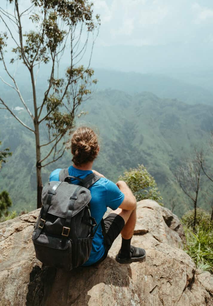
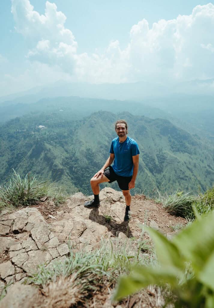
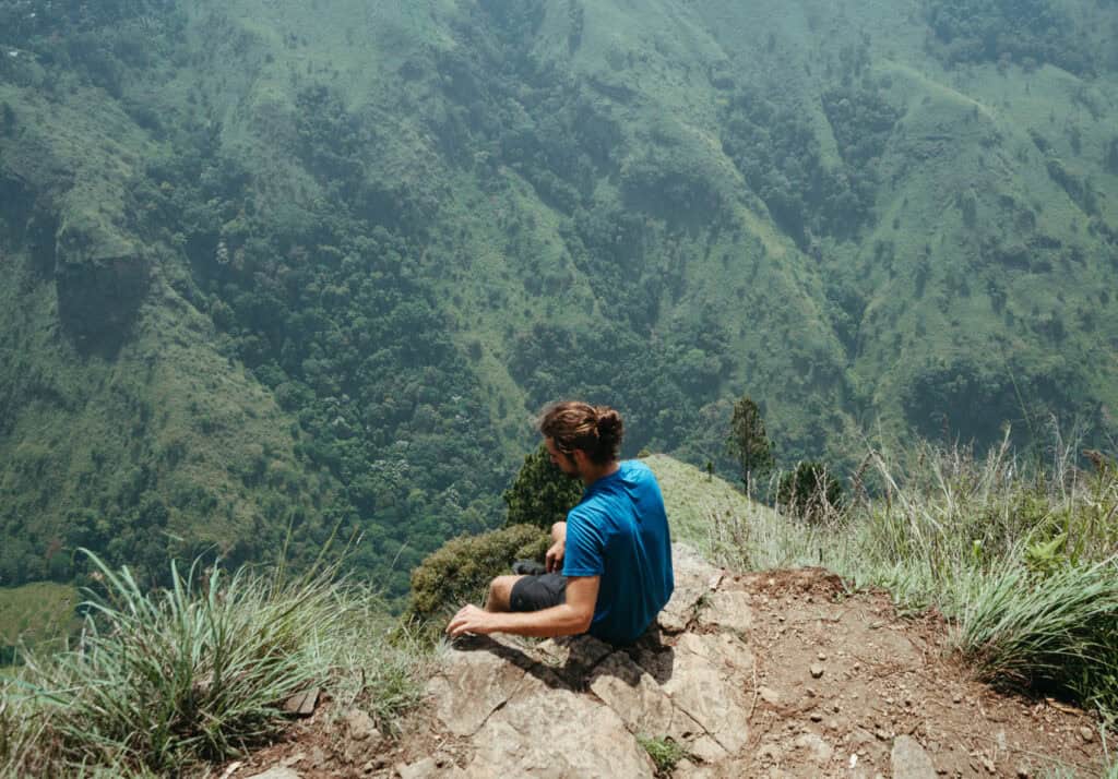
There are some small sections around the area where you can climb down for a more secluded place to take in the views. The rock has a small crag leading out to an insane viewpoint of Ella Gap.
We recommend bringing some snacks and having a small picnic here.
You can literally see for miles across multiple mountain ridges. Little Adam’s Peak is right across the valley, Ella Town is on your left, and Namunukula Peak is the highest peak in the distance.
Continue hiking along the cliff face for a few hundred meters to reach a 2nd viewpoint.
We didn’t have time to see this lookout (mostly because we got lost on the way up), but apparently, you can see a portion of Upper Ravana Falls, and this area has way fewer tourists.

Hiking tips
Although the Ella Rock hike is only a few miles roundtrip, it is not easy. Here are some of the common questions we get about the hike and extra tips to help you plan ahead.
Do You need a Guide?
We get this a lot for Ella Rock. The short answer is, no, you definitely don’t need a guide.
But if you’re a novice hiker and nervous about finding your path, it could be helpful to have an experienced local with you. The tours are affordable and often include multiple stops at some of the other iconic destinations around Ella.
The best tour we’ve found is this Discover Ella Icons.
It offers the best value for your dollar, with a guided hike up Ella Rock, a visit to Little Adam’s Peak, and a stop by Nine Arches Bridge. You’ll also get lunch and all transportation to/from your accommodation provided by the tour agency.

Wear Closed-Toe shoes
We almost always travel in our Chaco’s, and that’s all we brought to Ella.
Normally, this isn’t an issue, even for more difficult hikes, but at the top of Little Adam’s Peak (the other main hike in Ella), I slipped and ripped off my toenail. We had to cut our time at the top short and sprint down the mountain to clean the wound and ensure it didn’t get infected.
If I had just worn closed-toed shoes, it would have just been a meaningless fall.
If you plan on hiking a lot in Sri Lanka, we’d recommend bringing solid hiking shoes! Here are what we use and have found extremely durable and comfortable:

Get Travel Insurance
My toe did get infected, and that’s when we regretted not getting travel insurance for our trip.
Luckily, all I needed was some over-the-counter antibiotics, but if the injury had required hospitalization, there’s no telling how much it could have cost.
Quality travel insurance is really cheap these days, so there’s no reason to risk it. We get our travel insurance with SafetyWing for just $40/month.
Best time to visit
The best time of day to hike Ella Rock is in the morning – the earlier, the better. Afternoons in Ella have a higher chance of rain and/or fog, no matter what time of year you visit.
We hiked up Ella Rock around 11:00 a.m., and the landscape was already a little hazy by the time we reached the top. If we had just started a couple of hours earlier, the air would have been way clearer, and we would have had better views of the valley.
Closing Thoughts
Anyone who’s looking for hikes in Sri Lanka should add the Ella Rock hike to their itinerary.
It isn’t necessarily BETTER than Little Adam’s Peak, but we know some people would argue that. To us, the hikes are completely different, so it’s difficult to compare the two. It’s shorter and more easily accessible from Ella town. However, this makes it twice as busy.
It’s also in a completely different neighborhood. So, depending on where you are staying in Ella, one may be a lot more convenient for you.
We’d recommend making time for both viewpoints during your stay in Ella. Some travelers like to hike to Ella Rock for the sunrise and then head over to Little Adam’s Peak for sunset.


