
Hiking is the main activity in Madeira. It’s why 90% of people come to the island, and these hiking trails are what made us so excited about visiting as well!
Madeira has some incredible hikes, and what we loved more than anything was the diversity.
You could hike to waterfalls, along a mountain ridge, through a spooky forest, or next to the coastal cliffs without diving for more than an hour. It’s nuts!
Also, the hikes are everything you’d expect. If not even more surreal and beautiful.

The hard part is, with more than 500 hiking trails in Madeira, how do you choose?
Well, we think there are some staples that everyone should have on their itinerary, such as Levada do Caldeirão Verde and Vereda da Ponta de São Lourenço.
But there are so many more worth doing. After spending a couple of weeks on the island, here’s a full rundown of the best hikes we found in Madeira!
1. Pico do Areeiro – Pico Ruivo (PR1)
Distance: 12 km (7.5 miles)
Elevation Gain: 1,172m (3,845 ft)
Estimated Time: 5-6 Hours
Official Trail Map

The hike from Pico do Areeiro to Pico Ruivo was one of the most unreal hikes we’ve ever done.
The iconic staircase (Pedra Rija) is actually as cool as it looks online. There are also tunnels, cool rock formations, and multiple lookouts where you can look past the jagged peaks all the way to the ocean. Not to mention, we got to see the 3 highest peaks in Madiera!
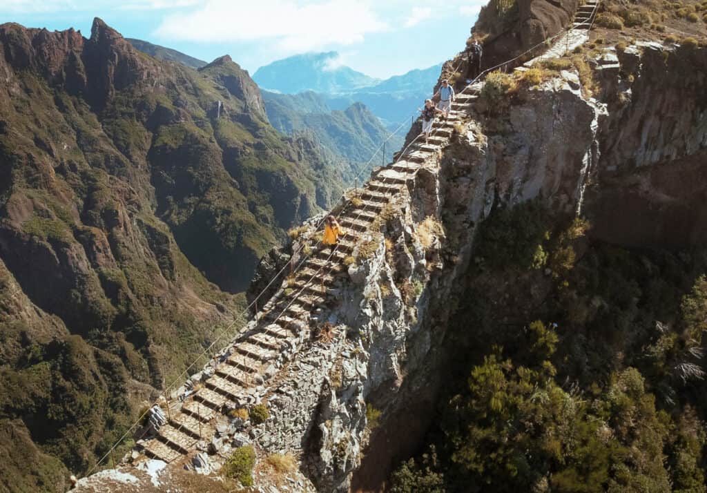
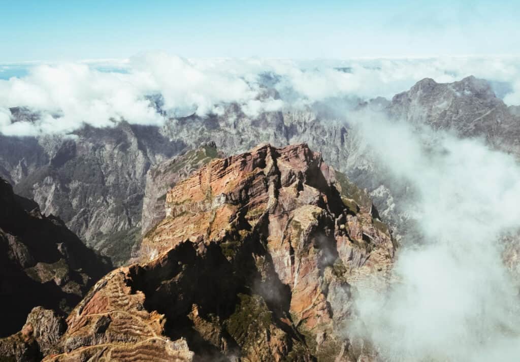
Pico Ruivo is #1 and Pico do Areeiro is #3. However, shortly after the halfway mark on the trail, you’ll pass below Pico das Torres, which is the second-highest peak in Madeira.
But it’s also VERY challenging. Over 1000 meters (4,000+ feet) of elevation is no joke.
But if you’re in good shape, you cannot skip this hike.
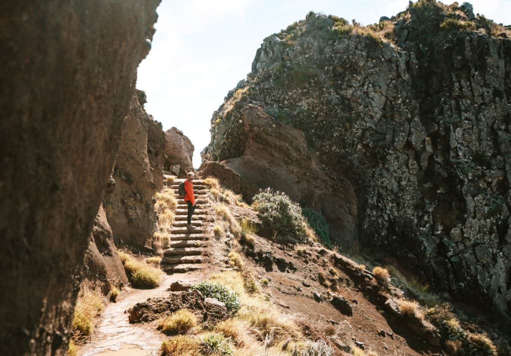
If we could give you just one tip for hiking Pico do Areeiro to Rico Ruivo, it would be to start by sunrise, especially if you’re planning to complete the whole hike.
Sarah and I fought really hard to get to the trailhead before sunrise and beat the crowds. We’d heard that most people stay to watch the sunrise at Pico do Areeiro before starting the hike, so it’s a little cheat code to be 20-30 minutes ahead of the pack and have the trail to yourself.
But we were late.

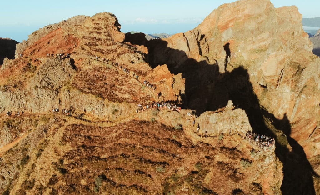
So, we sat and watched the sunrise, waited about 30 minutes for the sunrise crowd to begin hiking (it was literally like an amusement park at first), and then followed shortly behind.
This strategy worked a little, but it was still super crowded. Obviously, it would be even more enjoyable without so many people, but this didn’t ruin the hike as much as you’d expect!
2. Vereda do Pico Ruivo (PR1.2)
Distance: 5.4 km (3.7 miles)
Elevation Gain: 304m (997 ft)
Estimated Time: 2-3 Hours
Official Trail Map
If you’re looking for a slightly easier route up to Pico Ruivo (the highest peak in Madeira), there’s an alternative route starting from Achada do Teixeira.
The trailhead is not even close to Pico do Areeiro, so you’ll need to follow the directions through Santana Village in Northeast Madeira all the way to Achada do Teixeira.
This alternative route to Pico Ruivo is way less crowded and provides similar scenic views.
However, you will miss certain spots, like the Pedra Rija staircase and Miradouro do Ninho da Manta (both are towards the beginning of the hike from Pico do Ruivo to Pico do Areeiro.
You can definitely find a taxi to take you there, but you should make arrangements for them to come back to that location if you’re doing an out-and-back hike. You can also continue past Pico Ruivo to Pico do Areeiro, where finding a taxi back to Achada do Teixeira is much easier.
3. Vereda da Ponta de São Lourenço (PR8)
Distance: 7.5 km (4.7 miles)
Elevation Gain: 417m (1,368 ft)
Estimated Time: 3-4 Hours
Official Trail Map

Of all the hikes in Madeira, Ponta de São Lourenço surprised us the most.
This hike creeps its way out on a long peninsula until it reaches the easternmost point of Madeira (at least the farthest you can go on foot).
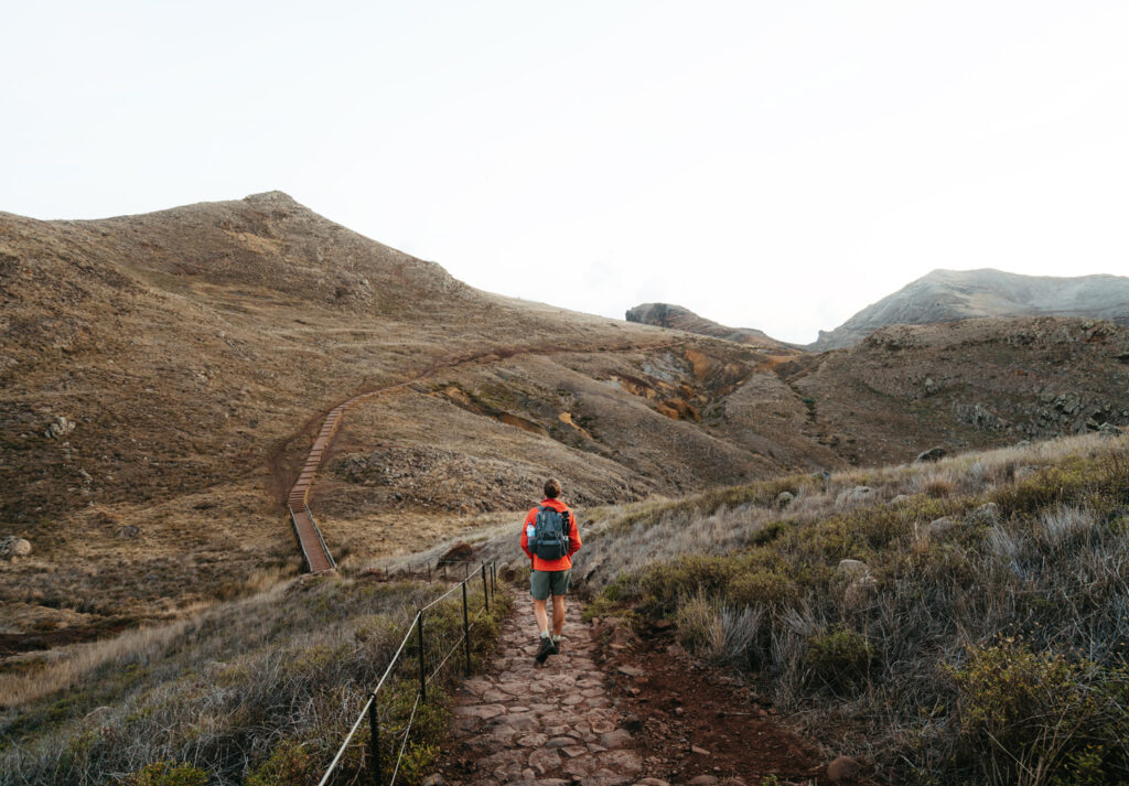
It’s also great to do around sunrise since it receives the first light of day, so that’s when we went!
We started about 40 minutes before sunrise. It was cool to watch the sunrise while we hiked, and this also helped us beat the crowds (not to mention there is zero shade–so I couldn’t imagine doing this during the heat of the day).
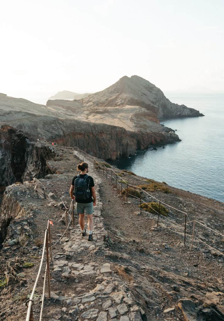
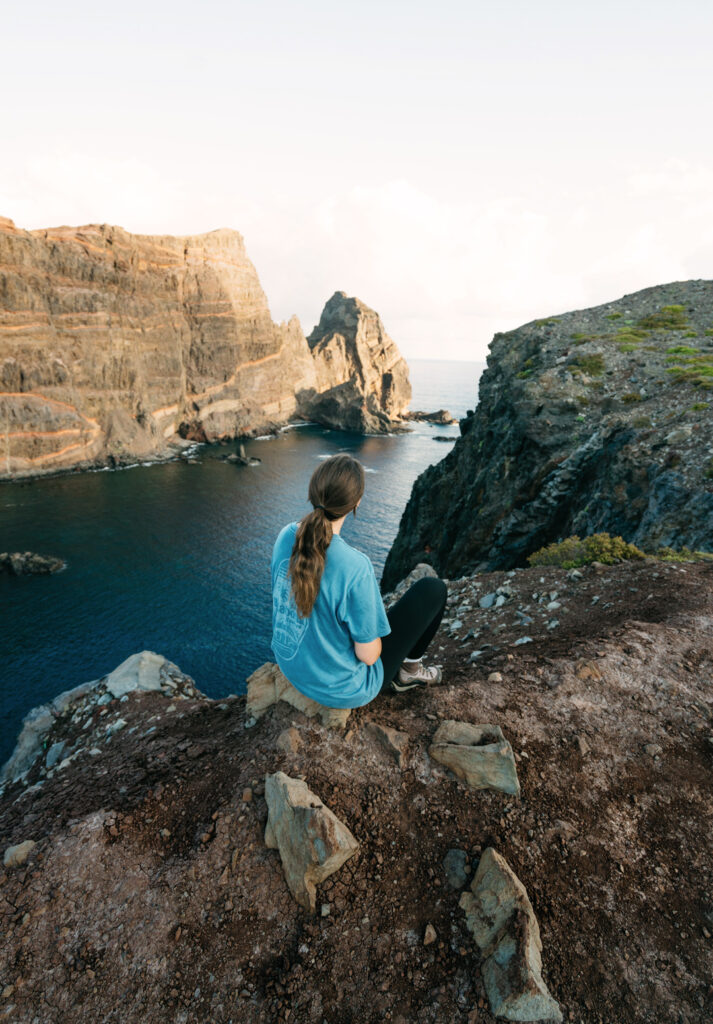
We loved this hike! The dramatic colors of green, red, and brown along the cliffs are so beautiful and make it one of the most unique landscapes on the island.
It’s also not as challenging as we expected!
The trail is mostly long switchbacks until it eventually ends with a steep section up to Miradouro Ponta do Furado. This is the main lookout where most of the photos you see online were taken.
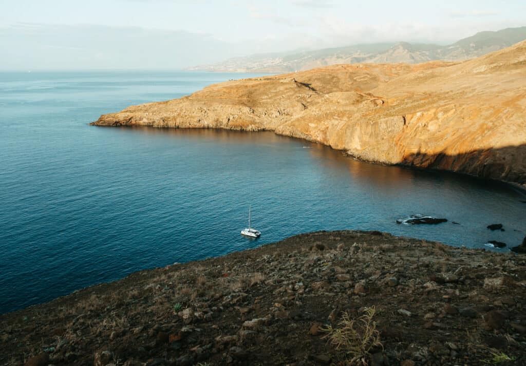
We stopped at multiple lookouts, including Miradouro de São Lourenço, Furna Cave, and the unmarked hidden gem circled in the map below shown below!

Shortly before that point, there’s a small cafe called Casa do Sardinha (open 10 AM – 6 PM) with restrooms, snacks, and a ferry taxi service that can take you back to the parking lot for €15-20
4. Levada Das 25 Fontes (PR6)
Another hike on almost every single Madeira bucket list is Levada Das 25 Fontes.
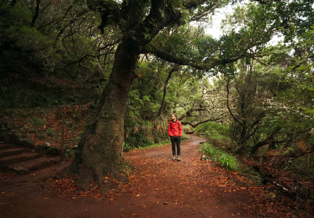
This hike passes through craggy trees, viewpoints, and some of the most lush vegetation in Madiera, with literally thousands of different types of fauna.
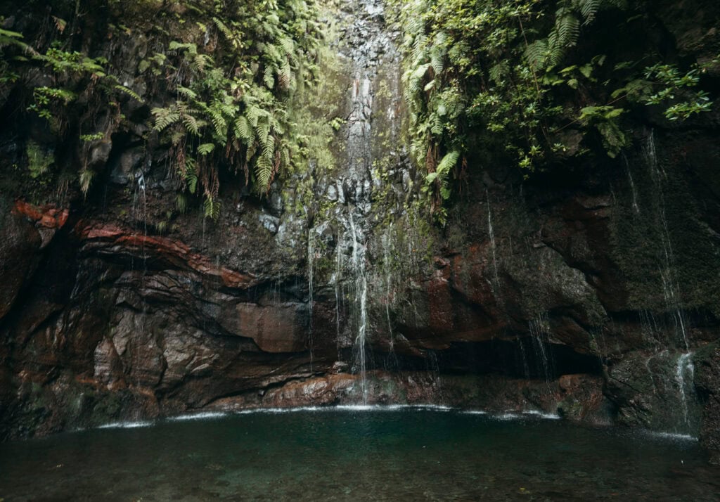
The actual waterfall (25 Fontes Falls) is far from the most beautiful waterfall we’ve ever seen. It’s more of a trickle than a waterfall.
But the setting is what makes it worthwhile. 25 Fontes sites in a small cove with hanging vines, leaves, and lots of wildlife.

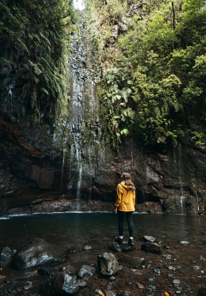
There’s an alternative starting point that we actually prefer (Here’s the Parking lot).
We like to go this way because it takes you through a cool tunnel that’s over a kilometer long. It’s wild! We were literally walking in pitch black for about 15 minutes!
5. Penha de Águia (Eagle rock)
Distance: 3.1 km (1.2 miles)
Elevation Gain: 586m (1,922 ft)
Estimated Time: 1-2 Hours
Official Trail Map
This is the very first hike we did in Madeira. We were staying in Machico for a couple of days to see all the most beautiful attractions on this side of the island, and Penha de Águia seemed like a short, easy hike to start with.

Boy, we were wrong! lol
This hike might only be 3 kilometers miles, but after a few hundred meters along old irrigation canals, the trail goes straight up. It’s a straight stair-stepper the rest of the way.
But when you eventually do get to the summit, it’s worth it. I remember sitting at the top of the rock and feeling absolutely in awe as I looked over Porto da Cruz.

This isn’t the actual peak, but it’s the better lookout, in our opinion.
You can either go back down the way you came or hike around the other side of the mountain, which is a more gradual ascent but much longer.
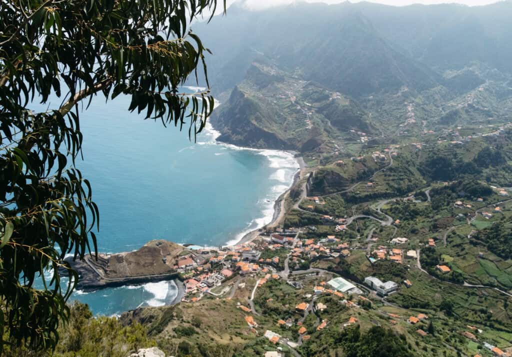
We finished the hike in just a couple of hours, and it was well worth the effort. Just make sure you bring plenty of water!
We went mid-day and only saw two other hikers the whole time. So, if you’re tired of the crowds in Madeira, Penha de Águia is a great place to find a great view with some solitude.
6. Levada do Risco (PR 6.1)
Distance: 6 km (3.7 miles)
Elevation Gain: 499m (1,637 ft)
Estimated Time: 2-3 Hours
Official Trail Map
Levada do Risco leads to Risco Waterfall, one of Madeira’s best waterfalls.
It’s often paired with the hike to Levada do 25 Fontas. To be honest with you, we’ve never really heard of anyone doing it separately.
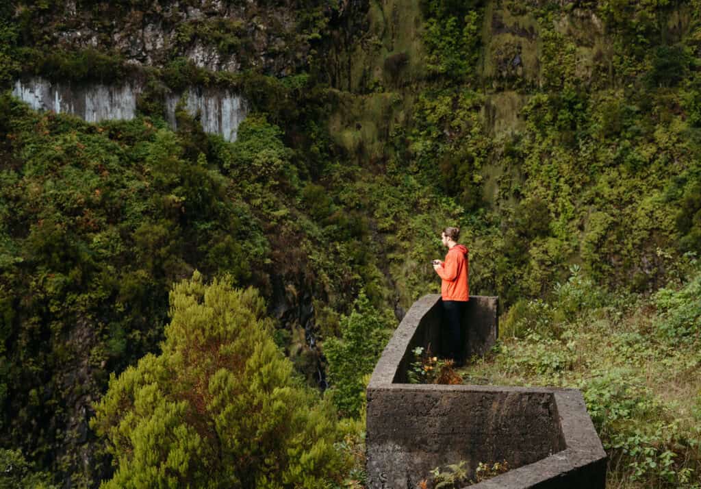
The hike is 6 km by itself, but if you are already hiking to Levada Das 25 Fontes, the detour to Risco Waterfall only adds 1.3 km to the total hike.
The waterfall was really beautiful and one of the only waterfalls that was still in full form during September. There’s a lookout area with a lot of space to take photos, but we couldn’t figure out how to hike to the actual base of the waterfall.
We might have been able to figure it out, but we were too busy looking for our drone, which I crashed here. Flew it right into the side of the mountain.
It’s a bittersweet place for us, to say the least.
7. Levada do Caldeirão Verde (PR9)
Distance: 11.7 km (7 miles)
Elevation Gain: 93m (305 ft)
Estimated Time: 6-8 Hours
Official Trail Map
Of all the Madeira hikes we checked off our list, Levada do Caldeirão Verde was the most memorable–both for good and for bad.
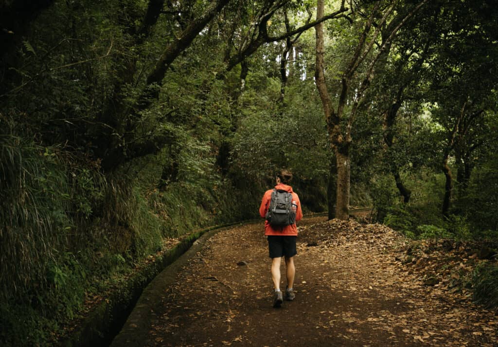
The good is that most of the hike is along a levada that somehow clings to the side of the cliff hundreds of meters above the valley floor. These steep drop-offs definitely put you at risk for vertigo, but there are ropes the whole way to protect anyone from falling.

Then there’s the vegetation, which was absolutely insane! Caldeirão Verde meals ‘green cauldron,’ and we thought it was even better than the 25 Fontas hike.
The hike leads to Caldeirão Verde waterfall, which is named after the green caldera in which it sits. The waterfall is super skinny but rises nearly 100 feet over the small pool below.
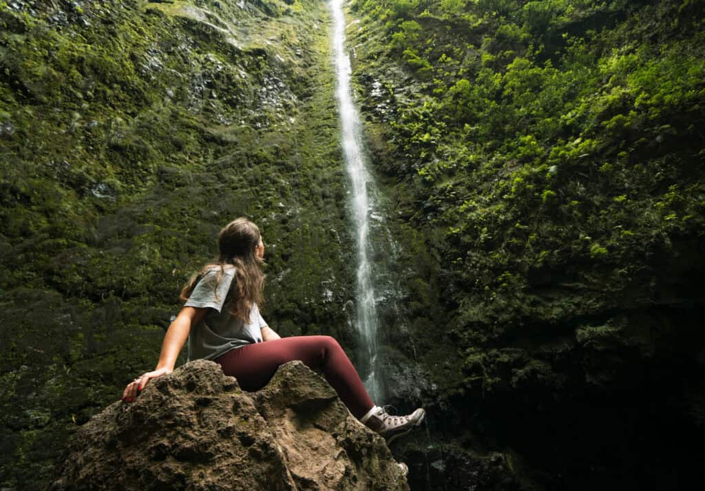
The downside is that it was incredibly crowded. We started early in the morning, and the drive wasn’t too terrible. Then, we spent about an hour at the waterfall. As we started back (around 10:00 AM), we passed SO MANY tour groups of 20-30 people.
The path isn’t suited for that. It’s really skinny, so the return trip involved constantly stepping over the levada and leaning against the mountain as the large groups passed.
This happened every couple of minutes, so it became pretty annoying.
There’s almost zero elevation gain on the entire hike. You’ll also notice a couple of dark tunnels on the trail, but our phone’s flashlight did just fine.
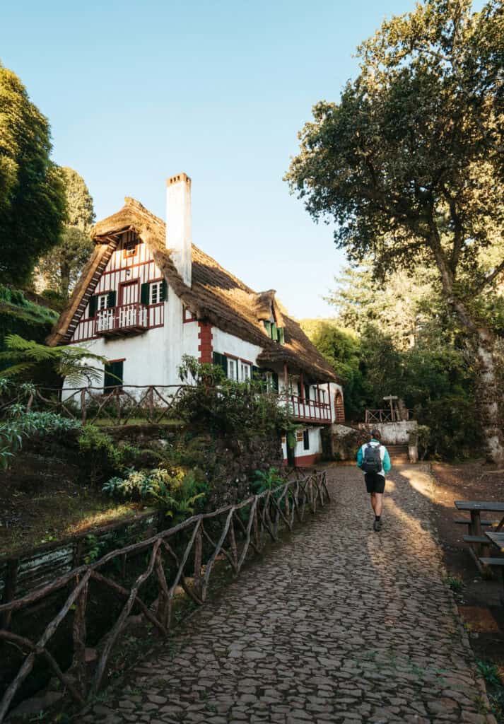
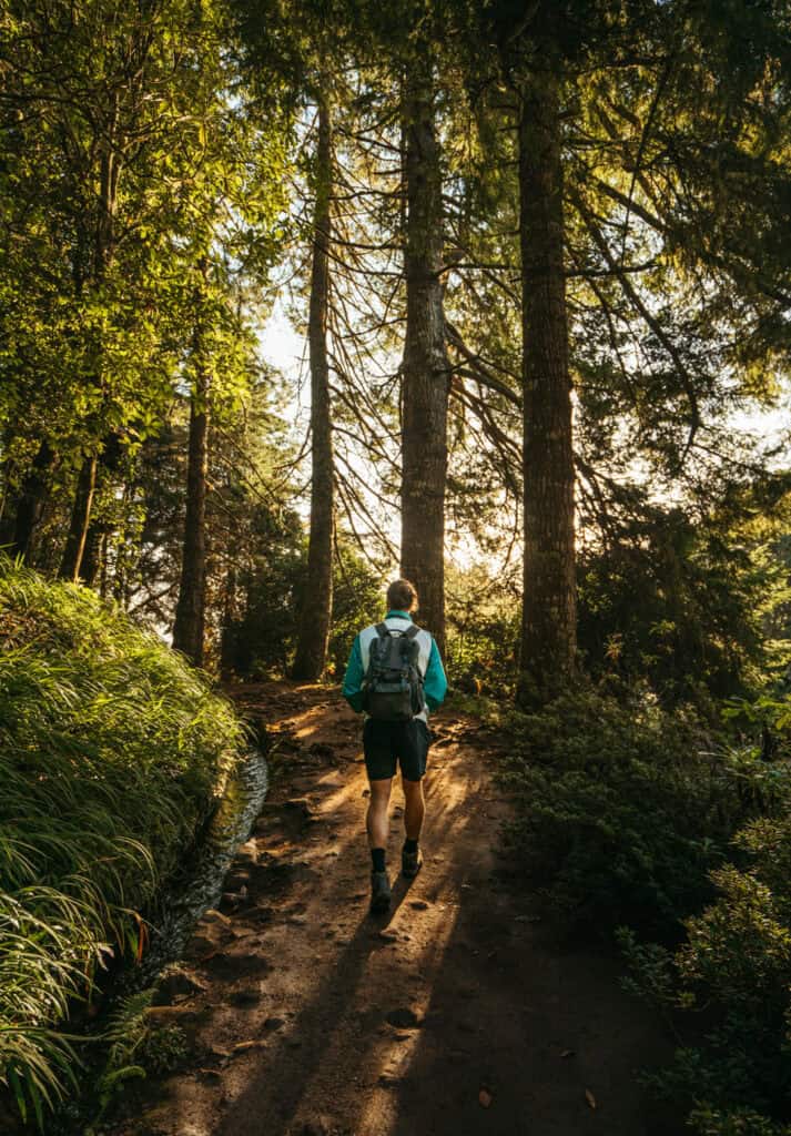
When you get back to the trailhead, take some time to explore Quimides’ traditional buildings. There’s a cafe selling snacks, beer, and local soda.
Note: CALDEIRÃO DO INFERNO WATERFALL HIKE was closed while we were traveling through Madeira, but we would have loved to see it.
8. Levada Dos Balcões (PR11)
Distance: 2.9km (1.8 miles)
Elevation Gain: 112m (367 ft)
Estimated Time: 1-2 Hours
Official Trail Map
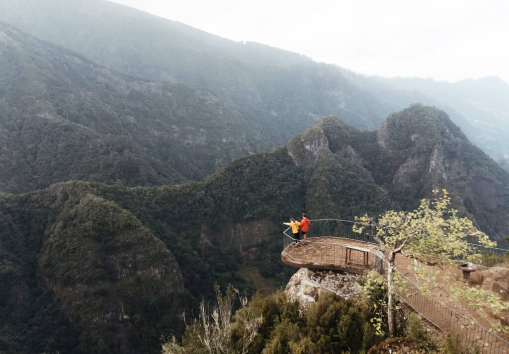
Does feeding wild birds out of your hand sound like a good time? How about standing on a balcony 1000+ feet in the air, looking over a lush valley leading to the ocean?
That’s what we experienced on the hike to Verada dos Balcoes.

Since both were less than 3 kilometers, combining them was pretty easy on our legs.
The only disadvantage to hiking in the evening was that we missed the opportunity to buy birdfeed at the small cafe located at the trailhead. I brought some bread, but the birds weren’t too interested in that, so we used the leftover birdfeed we found on the ground.
Even without the birds, this would be a worthwhile hike. It’s a stunning view, and there aren’t too many spots in Madeira where you can look straight down and feel safe behind a fence (besides Cabo Girão Skywalk or Caldeirão Verde).
9. Vereda do Fanal (PR13)
Distance: 11.3 km ( 7 miles)
Elevation Gain: 539m (1,768 ft)
Estimated Time: 3-5 Hours
Official Trail Map
Another hike we can’t leave off this list is the Fanal Forest.
The official hike is called Verada do Fanal, but most people don’t follow the official hike. There are so many open fields and clusters of trees that it’s best to explore as you go rather than follow a specific path.

The eerie area is known for its mysterious, dense fog, craggy trees, and cows.
But it’s not always foggy, so try to come early in the morning or on a cloudier day for the best chance of catching the spooky atmosphere.
On the day we visited, the forest was covered in a dense fog, even though it wasn’t cloudy anywhere else in Madeira. We spent about three hours exploring the forest, taking pictures, and walking through the wild trees.
It wasn’t too crowded, but even if it was, there was enough space that it wouldn’t feel overrun.
The Parque Florestal do Fanal Center on ER 209 is the best place to start your hike if you want to see the most famous sections without working too hard.
10. Levada Nova & Levada do Moinho
Distance: 8.9 km (5.5 miles)
Elevation Gain: 106m (347 ft)
Estimated Time: 3-4 Hours
Official Trail Map
A lesser-known hike (recently combined from two trails into one) is Levada Nova and Levada do Moinho.
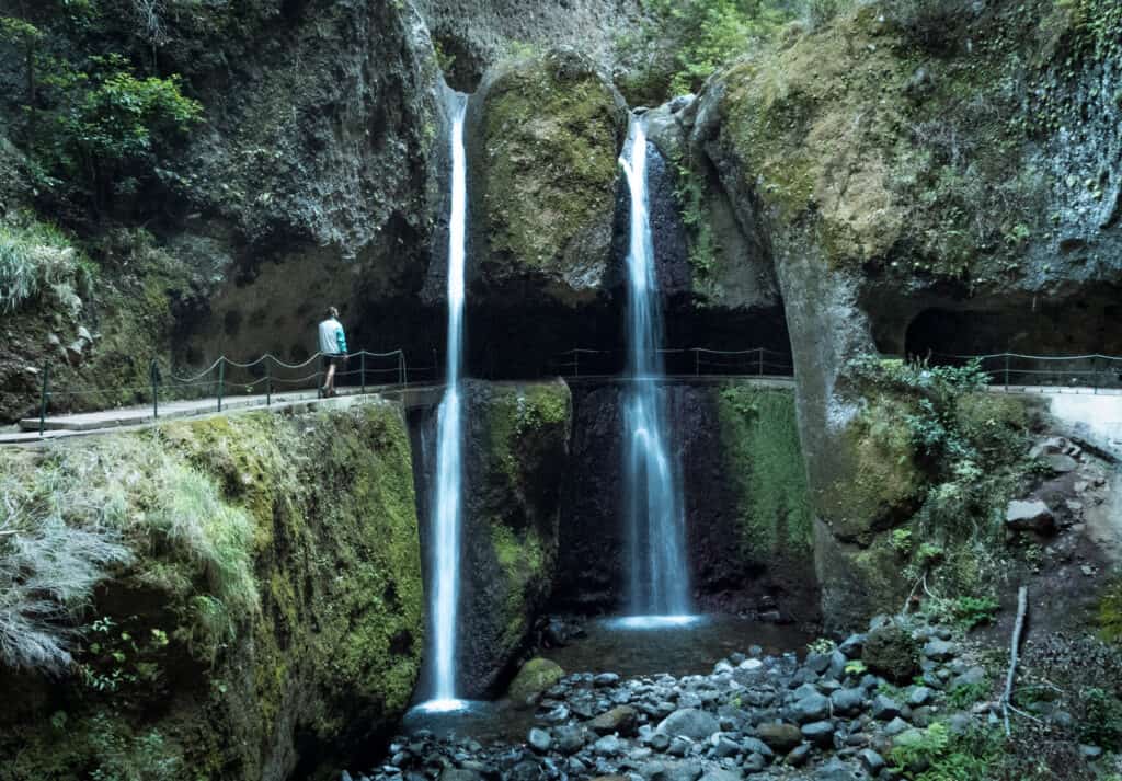
The whole thing is relatively flat, except for an intense decline at the very end (clockwise) or intense incline at the very beginning (counterclockwise)
These Levadas merge at Levada Nova Waterfall, which you must walk underneath to continue along the path. There is no other way to do it!
This hike was awesome during sunrise and only took about 3 hours to complete. I was the first one to the waterfall for nearly an hour. Then, on my way back, I only saw a couple of other tourists, meaning this is another one of the more secluded walks in Madeira.
There is another waterfall on the trail (called Ann’s Waterall) that you can’t get underneath, but it’s pretty big and it’s a cool photo stop!
11. Achadas De Cruz
Distance: 5.6 km (3.4 miles)
Elevation Gain: 658m (2,158 ft)
Estimated Time: 1-2 Hours
Official Trail Map
The hike to Achadas da Cruz is a bit daunting, and most people (including us) choose to take the cable car down to the beach instead of hiking down 2000+ feet to the coast.
But there is a hiking trail to the bottom of the cliff, which is not for the faint at heart but offers very few tourists and wild views of Madeira’s West coast.
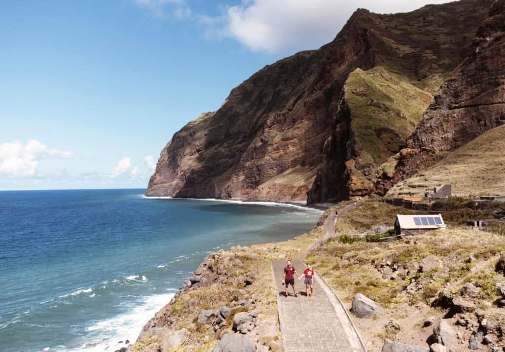
If you have the time and energy, it’s one of Madiera’s coolest hikes. It’s also far less crowded since 99% of people take the cable car. You can also hike down and then take the cable car back up for €5 per person (that’s what we should have done).
When you get to the bottom of Achadas da Cruz, there’s a wide pathway that you can walk along.
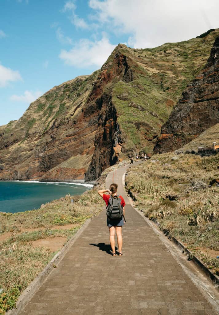

It follows the shoreline for the most part, but there are some offshoots that lead through the abandoned village. If you walk far enough, you’ll eventually get to a Ciempiés Waterfall, which falls off the cliff directly into the ocean!
more Popular Hiking Trails
These 11 hikes are our favorite, and they’re what we would consider the best hikes in Madeira, but they’re definitely not the only ones!
As we mentioned in the intro, there are over 500 hiking trails in Madeira, and if you have more than a week or two on the island, you should try to add a couple more trails to your itinerary!
tips for hiking In Madeira
If you’re traveling to Madeira, there’s no way you don’t have at least a couple of hikes planned on your itinerary. I know that on our perfect itinerary, we recommend doing one almost every day!
Here are some tips we wish we’d known before traveling there ourselves.
Download the Madeira Walks App
We are big fans of AllTrails Pro and use their trail maps everywhere we travel.
But in Madeira, there’s a local app called Walk Me – Madeira Walks, which has the official map for every trail in Madeira. With the free plan, you only get access to Ponta de São Louenço, but the paid plan has access to ALL walks and offline downloads!
It’s pricing is $7.99/month, 14.99/year, or $24.99 for a lifetime explorer plan.
It’s worth it, though. The routes are much more accurate than AllTrails and have more recent updates on what trails are open since it’s not uncommon for trails to be closed (in fact, the Levado do Inferno and Levada Nova are both closed at the time of writing), and this app is how we found our first.
Parking a Trailheads
It’s typically pretty easy and free to park at the trailheads in Madeira.
That’s good news for those hoping to snag a car rental in Madeira.
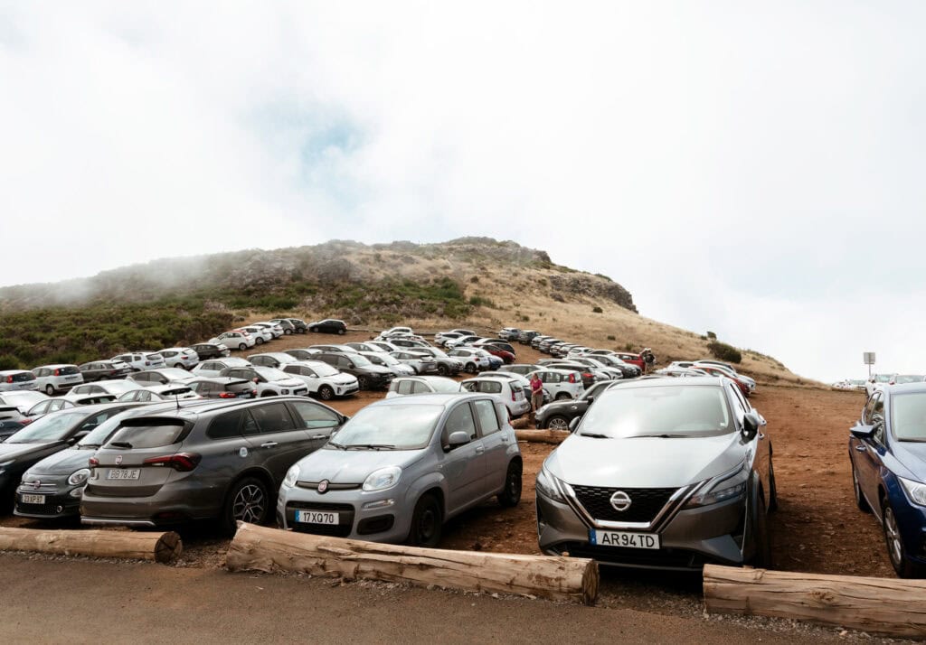
The one hike that’s not free is Levada do Calderio Verde. You park in the same lot as for Queimadas, which it costs €3 for the day.
Everywhere else we hiked in Madeira, parking was first come, first served, and we never had an issue finding a spot.
Get Out Early
We never had trouble finding a parking spot to drive through traffic in Madiera because we were diligent in getting out onto the trail as early as possible.
Sunrise is between 6:00 AM and 7:00 AM all year round in Madeira.
We typically left our villa in Ribeira Brava around 5:30 so that we could be there by sunrise and be among the first hikers on the trail.
This is more important for specific trails, like Levada do Caldeirão Verde and Vereda da Ponta de São Lourenço. We started those hikes while it was still a little dark out. We promise it’s worth losing a half hour of sleep!
Bring Snacks and Plenty of Water
Vereda da Ponta de São Lourenço is the only hike with facilities where you can use the bathroom or buy snacks and water.

Everything else had nothing except a random barebones toilet in the woods.
So, use the restroom before you go and bring a backpack with a full water bladder and some snacks to sustain you throughout the hikes. The longest hike is 6-7 hours, so you won’t need much, but it’s always nice to have something.
You Should Bring Hiking Boots
We were on the fence about bringing hiking boots to Madeira. They’re bulky to pack, and we saw many videos of people hiking in tennis shoes and seeming to be doing just fine.
But after spending a couple of weeks here and hiking about every day, we were really glad we brought them.

They provided more support and traction for the hikes with steep drop-offs, and we would have probably worn our tennis shoes out completely, walking over 10,000 steps every single day.
It’s also not uncommon for it to rain in Madeira, which makes it muddy, and our hiking boots (Oboz Sawtooth X) handled that really well. They’re also waterproof!
Closing Thoughts
The hikes we did in Madeira were easily the best part of our trip.
There were actually very few that we felt were overrated, and that’s hard to believe because our expectations were so high!
So, if you’re only spending a few days in Madeira, we hope this helps you decide which hikes to include!
The only other thing to say is that if you want to avoid crowds in Madeira, then you really should hire your own car for the trip. It’s the only way to get to all these hikes by sunrise and beat the crowds.
PIN IT!



![How to Get From Funchal to Pico Do Areeiro [2025]](https://pazooktravel.com/wp-content/uploads/2024/07/Pico_De_Areerio-118-768x509.jpg)


